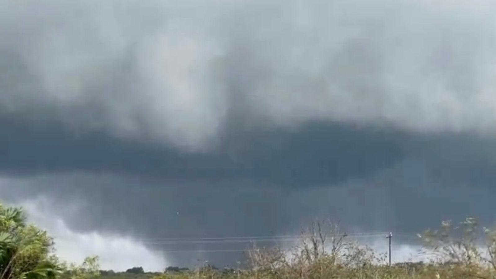
The impact of Hurricane Milton is already being felt in Florida.
Two large tornadoes formed in the Florida Everglades and crossed I-75.
“Two large tornadoes from Hurricane Milton crossed Interstate 75 in the Florida Everglades around 10 a.m. EDT, moving north between the towns of Miles City and Andytown. The tornado shown here was east of the first tornado and closer to Andytown,” AccuWeather wrote.
BREAKING: Two large tornadoes from Hurricane Milton crossed Interstate 75 in the Florida Everglades around 10 a.m. EDT, moving north between the towns of Miles City and Andytown.
The tornado shown here was east of the first tornado and closer to Andytown. pic.twitter.com/M65dpsvgWV
— AccuWeather (@accuweather) October 9, 2024
WATCH:
9:55am: Large tornado remains in progress heading north. Approximately 5 miles WNW of I-75 and the Miccosukee Service Plaza.@NWSMiami pic.twitter.com/BU0OwO2Wdy
— Battery Traveller (@IMCFTraveller) October 9, 2024
TORNADO crossing I-75 as we speak! Seek shelter NOW! pic.twitter.com/VYhef71ulX
— NWS Miami (@NWSMiami) October 9, 2024
WFLA reports:
While South Florida faces severe weather, several Tampa Bay area counties, including Hillsborough and Pinellas are under a Tornado Watch until 9 p.m.
Hurricane Milton is set to make landfall somewhere along the Florida Gulf Coast as a “dangerous major hurricane” around 2 a.m. Thursday, the National Hurricane Center said.
The Category 4 hurricane is currently moving toward the northeast at 16 mph with winds of 155 mph.
“Watch as traffic cameras on I-75 near Miccosukee, Florida, capture a dramatic scene of a tornado crossing the highway, part of the severe weather associated with Hurricane Milton. So far, two large tornadoes have been confirmed, with multiple other tornadoes spawning throughout the region,” Rawsalerts wrote.
“A tornado outbreak could develop this afternoon as Hurricane Milton moves closer to the Florida coastline, bringing dangerous conditions. Emergency crews are on high alert as the storm’s outer bands continue to intensify,” the post added.
WATCH:
#BREAKING: Mutiple tornados are being reported as one can be seen crossing west I-75 ⁰⁰
#Miccosukee | #Florida
Watch as traffic cameras on I-75 near Miccosukee, Florida, capture a dramatic scene of a tornado crossing the highway, part of the severe weather associated with… pic.twitter.com/rlEJTNmVu2
— R A W S A L E R T S (@rawsalerts) October 9, 2024
Per FOX Weather:
Outer bands of Hurricane Milton are already impacting Florida ahead of landfall, bringing heavy rainfall, strong winds and tornadoes.
The National Weather Service’s Storm Prediction Center (SPC) has issued a Tornado Watch for parts of Central and South Florida, warning that multiple tornadoes are likely to develop across the region.
ADVERTISEMENTSeveral Tornado Warnings have already been issued on Wednesday morning, and this threat is expected to persist throughout the day and into the night. As Milton’s rain bands move inland, supercell thunderstorms capable of producing strong tornadoes, including those rated EF-2 or higher, are likely to form.
Milton, a Category 4 hurricane as of Wednesday morning, will make landfall along the west-central coast of Florida late Wednesday night or early Thursday morning, the National Hurricane Center said. With the threat of catastrophic storm surge and hurricane-force winds, millions of residents in Milton’s path have been urged to evacuate immediately as time is running out.
WATCH:
This is a Guest Post from our friends over at 100 Percent Fed Up.


Join the conversation!
Please share your thoughts about this article below. We value your opinions, and would love to see you add to the discussion!